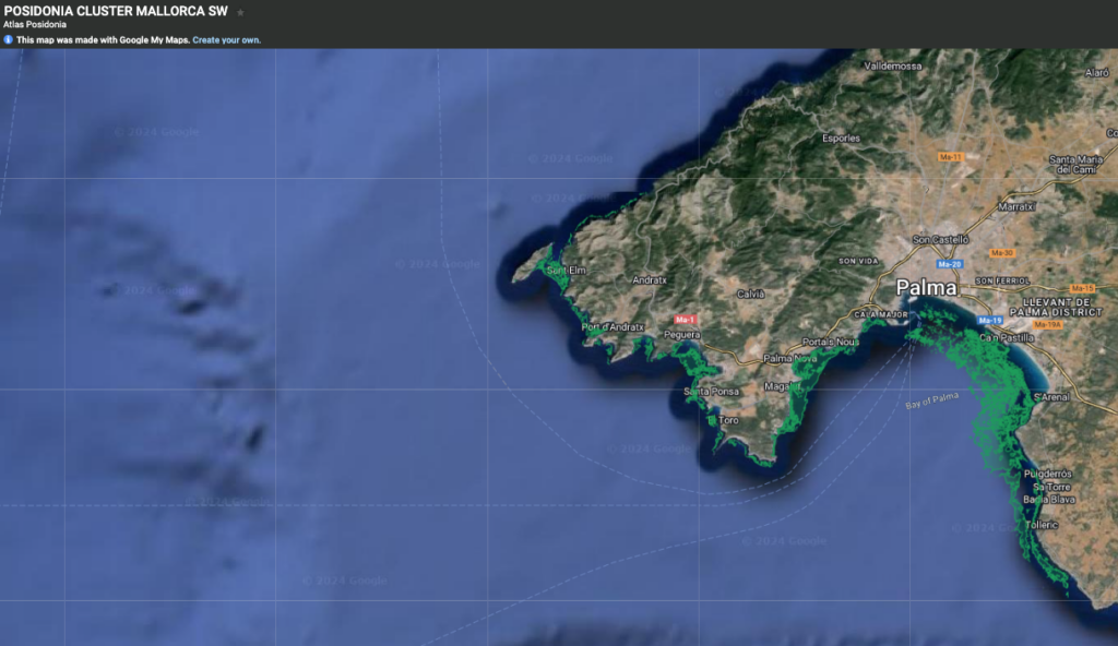
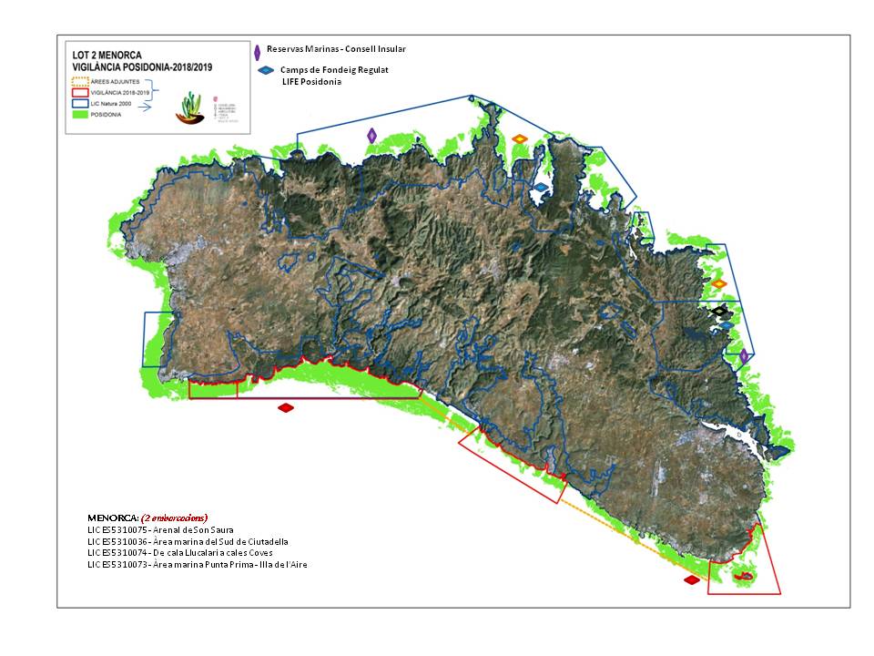
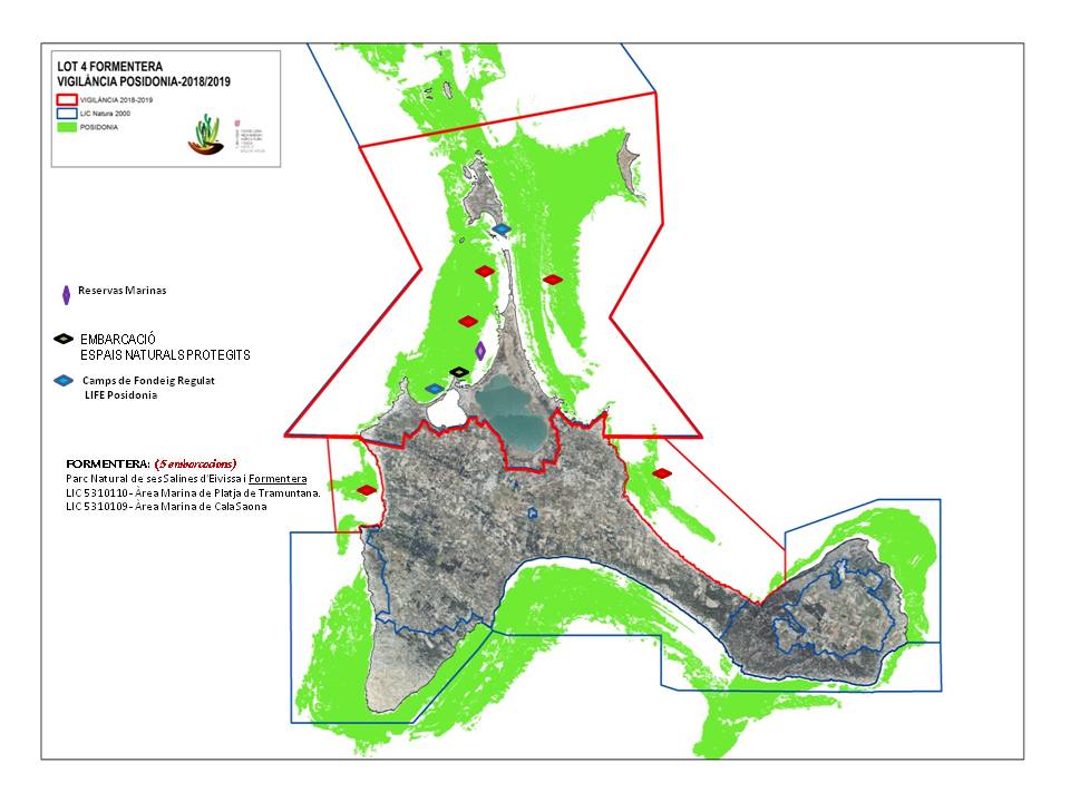
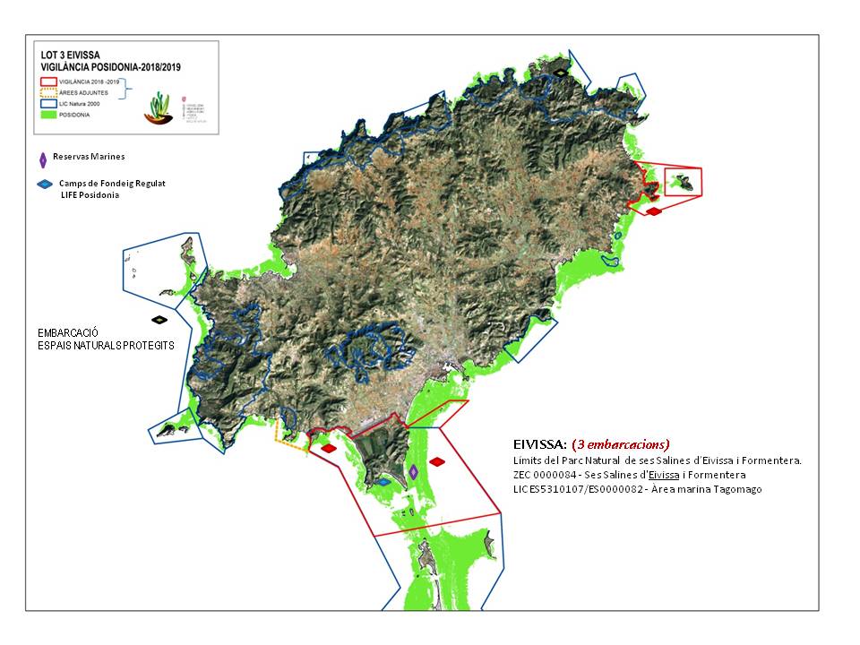
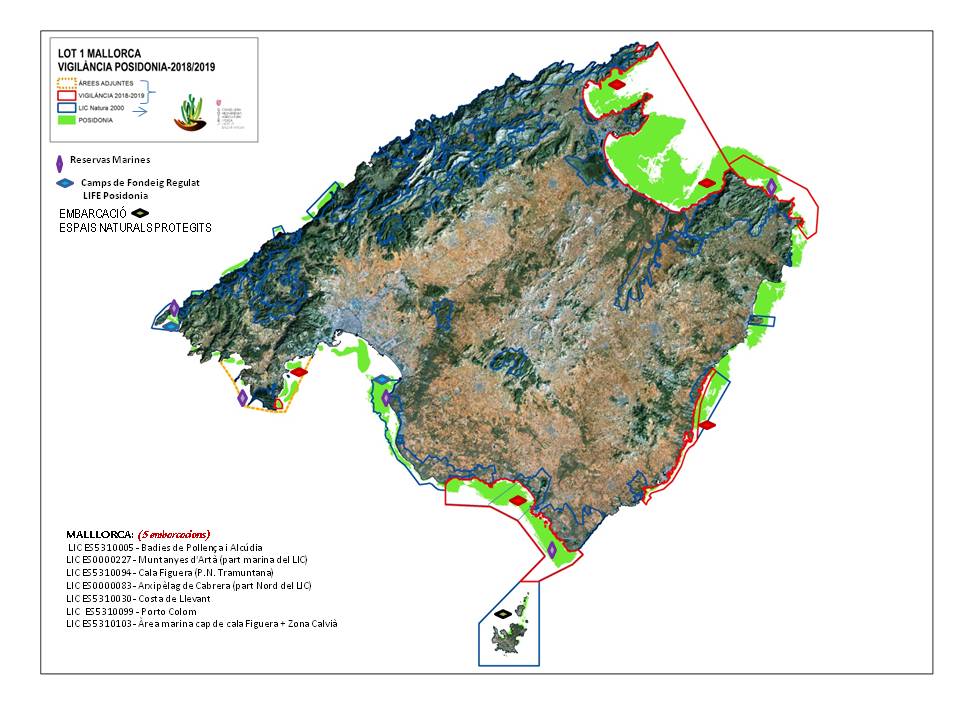
Posidonia meadows of the Balearic Islands are protected by decree 25/2015, of July 28 2018. All vessels must anchor on sandy bottoms, ensuring that both anchor and chain are clear of these meadows at all times.
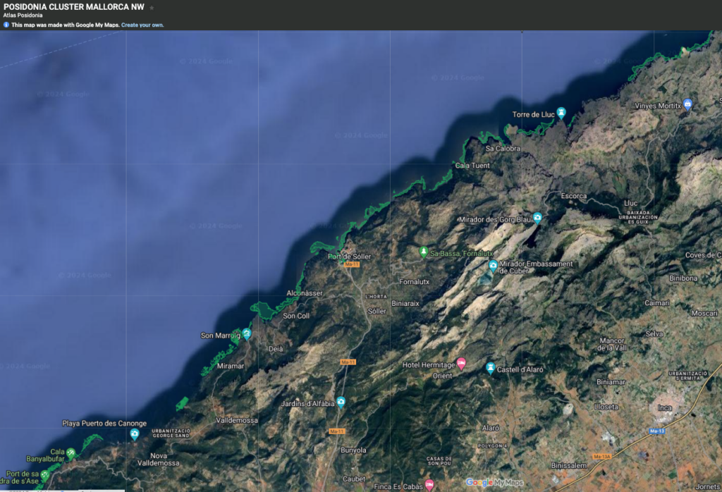
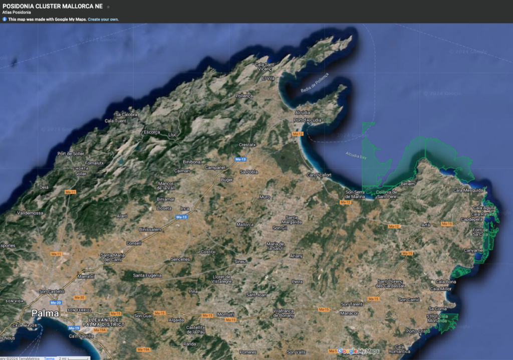
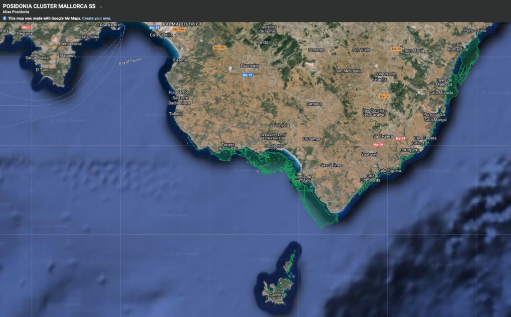
Maps below are created and maintained by the Balearic Marine Cluster for reference only. Click each map for the coastal area of interest and zoom in for detailed views.
The official app provided by Balearic authorities can be accessed here: https://ideib.caib.es/posidonia/
******
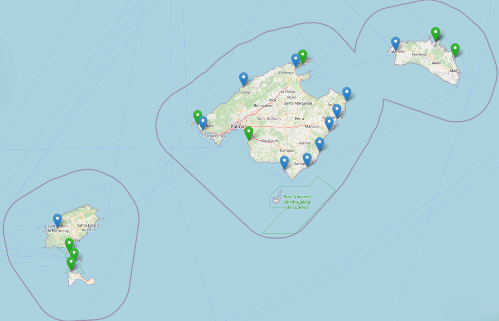
ADVISORY: The islands’ Posidonia Surveillance Service operates a fleet of 20 patrol boats, tasked with monitoring navigation and providing anchorage guidance. The service is available in Mallorca, Menorca, Ibiza and Formentera.
The surveillance team can be reached on VHF CHANNEL 68 and by mobile telephone or WhatsApp on +34 617 975 172. Their email is atlasposidonia@gmail.com.
******
Unofficial apps can be downloaded here:
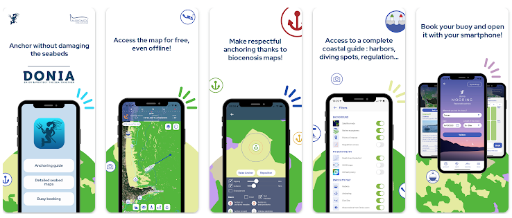
DONIA by Andromede Oceanologie
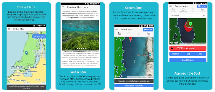
PosidoniaMaps by Movired (Formentera only)
North West
North East
South
South West
